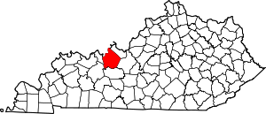
Se Ree, Kentucky
Appearance
Se Ree, Kentucky | |
|---|---|
| Coordinates: 37°41′00″N 86°22′47″W / 37.68333°N 86.37972°W | |
| Country | United States |
| State | Kentucky |
| County | Breckinridge |
| Elevation | 722 ft (220 m) |
| Time zone | UTC-6 (Central (CST)) |
| • Summer (DST) | UTC-5 (CDT) |
| ZIP codes | 40164 |
| GNIS feature ID | 503129[1] |
Se Ree is an unincorporated community within Breckinridge County, Kentucky, United States.
The community had a post office that closed on January 3, 2004.[2]
References
[edit]


