通过地图 API 获取实时最新的 geojson 数据,摆脱 geojson 文件数据过期的烦恼。 省市区县下钻。实现真正的下钻至县级,而不是只到市级。 亦可下载最新 geojson 数据。
项目介绍:https://www.jianshu.com/p/c293c94d9ab7
码云地址:https://gitee.com/HashTang/echarts-map-demo
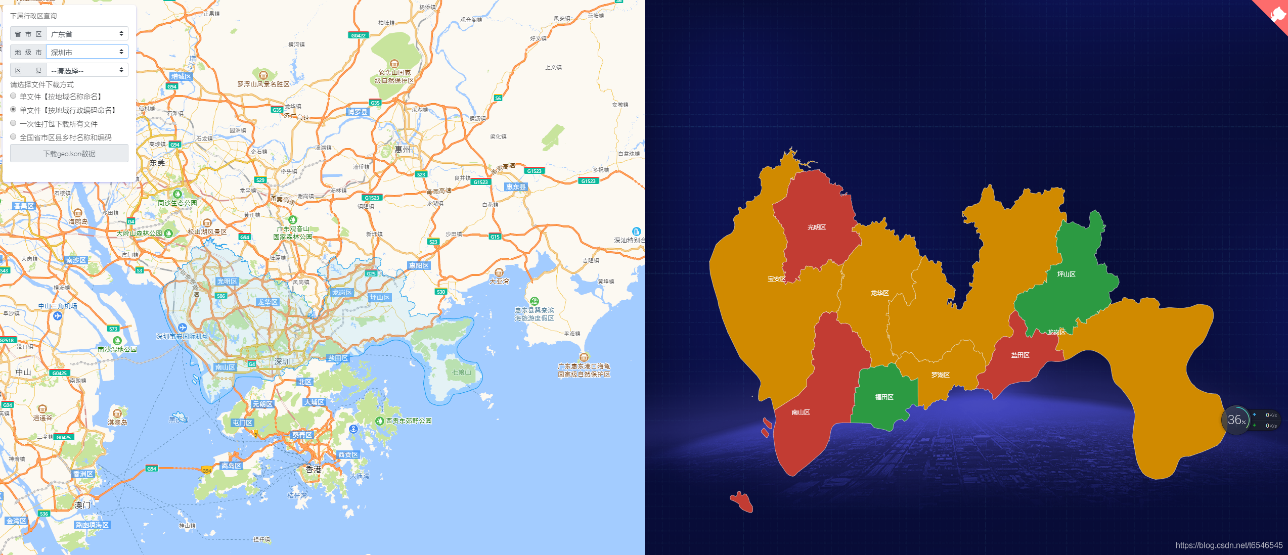
页面效果图:
| Name | Name | Last commit date | ||
|---|---|---|---|---|
通过地图 API 获取实时最新的 geojson 数据,摆脱 geojson 文件数据过期的烦恼。 省市区县下钻。实现真正的下钻至县级,而不是只到市级。 亦可下载最新 geojson 数据。
项目介绍:https://www.jianshu.com/p/c293c94d9ab7
码云地址:https://gitee.com/HashTang/echarts-map-demo
页面效果图: