Pillapalu
Appearance
You can help expand this article with text translated from the corresponding article in Estonian. (February 2021) Click [show] for important translation instructions.
|
Pillapalu | |
|---|---|
 Pillapalu homestead in winter | |
| Coordinates: 59°20′57″N 25°34′39″E / 59.34917°N 25.57750°E | |
| Country | |
| County | |
| Municipality | |
| Area | |
• Total | 135 km2 (52 sq mi) |
| Highest elevation (Pukimägi) | 98.2 m (322.2 ft) |
| Lowest elevation | 59 m (194 ft) |
| Population (2020)[1] | |
• Total | 94 |
| • Density | 0.70/km2 (1.8/sq mi) |
| Ethnicity (2011) | |
| • Estonians | 93.9% |
| • other | 6.1% |
| Time zone | UTC+2 (EET) |
| • Summer (DST) | UTC+3 (EEST) |
| Postal Codes | 74502 |
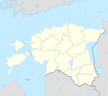
Pillapalu is a village in Anija Parish, Harju County, Estonia.[3]
Soodla reservoir and several big bogs are located in the village.
As of 1 August 2020, the village had a population of 94.[1]
The northwestern part of the village's territory is occupied by Soodla training area of the Estonian Defence Forces.
References
[edit]- ^ a b "Meie külad". Anija valla külade nimekiri. Anija vald. Archived from the original on 2021-01-11.
- ^ "RL004: EESTLASTE ARV JA OSATÄHTSUS ELUKOHA (ASULA) JÄRGI, 31. DETSEMBER 2011".
- ^ Classification of Estonian administrative units and settlements 2014[dead link] (retrieved 27 July 2021)

