Pilga Station
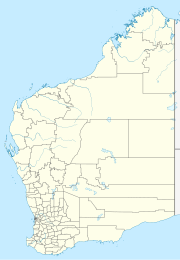
Pilga Station is a pastoral lease and sheep station located 48 kilometres (30 mi) south west of Marble Bar and 210 kilometres (130 mi) north of Newman in the Pilbara region of Western Australia.
The station occupies an area of 215,025 acres (87,018 ha) and in 1946 had 159 miles (256 km) of fencing and the property was divided into 16 paddocks. The property also had 23 wells, was equipped with mills, a homestead and shearing shed.[1] The Shaw River flows through a portion of Pilga.
In 1928 sheep from Pilga produced 134 bales of wool.[2]
Shearers shore 15,400 sheep at Pilga in 1934, including 3,000 summer lambs producing 151 bales of wool; the clip was 3 long tons (3 t) better than the previous record.[3]
In 1954 the station owner, J. J. Doughty, took miners to the Wardens court to seek the forfeiture of 16 mining tenements for non-compliance of labour conditions and continual use of water rights at the Cooglegong tin-field situated on the property.[4]
See also
[edit]References
[edit]- ^ "Abydos Station". The Sydney Morning Herald. 1 March 1946. p. 5. Retrieved 15 August 2013.
- ^ "Marble Bar News". The Northern Times. Carnarvon, Western Australia: National Library of Australia. 2 June 1928. p. 4. Retrieved 16 August 2013.
- ^ "Marble Bar News". The Northern Times. Carnarvon, Western Australia: National Library of Australia. 30 May 1934. p. 5. Retrieved 16 August 2013.
- ^ "Pastoralist Objects To Mining Sites". The West Australian. Perth: National Library of Australia. 29 October 1954. p. 25. Retrieved 16 August 2013.
