Poznań–Kobylnica Airport
Poznań–Kobylnica Airport | |||||||||||
|---|---|---|---|---|---|---|---|---|---|---|---|
 | |||||||||||
| Summary | |||||||||||
| Airport type | Public | ||||||||||
| Owner | Poznań Wanda Modlibowska Aero Club | ||||||||||
| Location | Kobylnica, Greater Poland Voivodeship, Poland | ||||||||||
| Elevation AMSL | 282 ft / 86 m | ||||||||||
| Coordinates | 52°26′03″N 017°02′39″E / 52.43417°N 17.04417°E | ||||||||||
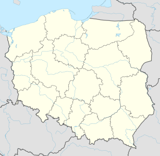
| Map | |||||||||||
 | |||||||||||
| Runways | |||||||||||
| |||||||||||
Poznań–Kobylnica Airport (ICAO: EPPK), also referred to as Ligowiec Airport after a nearby railway station, is a privately owned, public use airport located in Kobylnica near Poznań. The airport is owned by the Poznań Wanda Modlibowska Aero Club.
History
[edit]The airport was built by the Germans during World War II. It was captured by Soviet forces on 29 January 1945 and served as a base for Polikarpov Po-2 bombers during the Battle of Poznań.[1]
Future
[edit]Around 2019, the Aero Club, which owns the airport, announced it would be moving its base of operations to the EPPG airport in Kąkolewo and selling the Kobylnica airport to a developer. A proposal has been made to redevelop the area of the airport into a "compact city" for 8 thousand people with 133 buildings (98 of them residential), one reaching up to a height of 160 metres, and a new communication node.[2]
Infrastructure
[edit]The airport has one runway, a 750 × 100 m (2,461 × 328 ft) grass strip numbered 07/25. There are also several hangars.[3]
References
[edit]- ^ "Nowa strona 1". Archived from the original on 2016-08-01. Retrieved 2019-05-24.
- ^ "Article describing the proposal". poznan.wyborcza.pl.
- ^ "Lotniska · Poznań-Kobylnica". lotniska.dlapilota.pl.
