Schinhorn
Appearance
| Schinhorn | |
|---|---|
 From left: the sharp ridge Distlighorn and the dark tower Schinhorn, seen from the Lötschenlücke | |
| Highest point | |
| Elevation | 3,796 m (12,454 ft) |
| Prominence | 422 m (1,385 ft)[1] |
| Parent peak | Aletschhorn |
| Listing | Alpine mountains above 3000 m |
| Coordinates | 46°27′05″N 7°56′48″E / 46.45139°N 7.94667°E |
| Geography | |
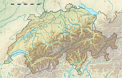
| Location | Valais, Switzerland |
| Parent range | Bernese Alps |
| Climbing | |
| First ascent | 30 August 1869 by E. J. Häberlin and Johann and Andreas von Weissenfluh |
The Schinhorn is a mountain of the Bernese Alps, located west of the Aletschhorn in the canton of Valais. It lies between the valleys of Lötschental (north) and Oberaletsch (south). The Schinhorn has a northeastern Subpeak, the sharp ridge Distlighorn (3,716 m).
See also
[edit]References
[edit]External links
[edit]
