Mont Raimeux
Appearance
| Mont Raimeux | |
|---|---|
 | |
| Highest point | |
| Elevation | 1,302 m (4,272 ft) |
| Prominence | 533 m (1,749 ft)[1] |
| Isolation | 6.9 km (4.3 mi)[2] |
| Listing | Canton high point |
| Coordinates | 47°18′30″N 7°25′45″E / 47.30833°N 7.42917°E |
| Geography | |
| Location | Jura/Bern, Switzerland |
| Parent range | Jura Mountains |
| Climbing | |
| Easiest route | Trail |
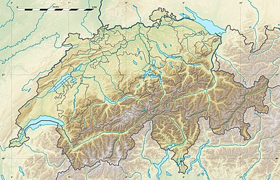
Mont Raimeux is a mountain of the Jura range, located on the border between the Swiss cantons of Jura and Bern. Reaching a height of 1,302 metres above sea level, it is the highest summit in the canton of Jura.
The summit of Mont Raimeux can be reached easily by several trails and a road culminating at 1,288 metres.
References
[edit]- ^ Retrieved from the Swisstopo topographic maps. The key col is located near Wirtshof at 769 metres.
- ^ Retrieved from Google Earth. The nearest point of higher elevation is north of the Hasenmatt.
External links
[edit]Media related to Mont Raimeux at Wikimedia Commons
- Mont Raimeux on Hikr
