Farol da Ponta Cais
Leuchtturm auf Mao, Kap Verde
| Farol de Ponta Cais | ||
|---|---|---|
| Ort: | Ponta Cais Maio Kap Verde | |
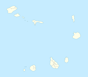
| Lage: | Maio, Ilhas de Sotavento, Kap Verde | |
| Geographische Lage: | 15° 20′ 0″ N, 23° 10′ 47″ W | |
| Feuerhöhe: | 14 m | |
|
| ||
| Nenntragweite weiß: | 10 sm (18,5 km) | |
| Funktion: | Leuchtturm | |
Der Farol da Ponta Cais (dt.: „Leuchtturm des Cais-Kap“) ist ein Leuchtturm am nördlichsten Punkt der Insel Maio, dem Kap Ponta Cais im atlantischen Inselstaat Kap Verde.[1] Die Landzunge liegt ca. 8 km nördlich des nächsten Dorfes, Cascabulho. Der Leuchtturm wird von der Direcção Geral de Marinha e Portos (DGMP) betrieben.[2]
Architektur
BearbeitenDie Konstruktion ist 7 m hoch und die Feuerhöhe liegt bei 14 m. Das Signal besteht aus einem weiß-roten Blitz in einer Periode von sieben Sekunden. Die Reichwete beträgt 10 nms (ca. 19 km).[3]
Identifikationen: Amateur Radio Lighthouse Society (ARLHS): CAP-011; PT-2118 - United Kingdom Hydrographic Office (Admiralty): D2874 - National Geospatial-Intelligence Agency (NGA): 113-24202.[4]
Siehe auch
BearbeitenEinzelnachweise
Bearbeiten- ↑ Cabo Verde, Statistical Yearbook 2015. Instituto Nacional de Estatística. ine.cv S. 26.
- ↑ DGMP. sia.cv.
- ↑ List of Lights, Pub. 113: The West Coasts of Europe and Africa, the Mediterranean Sea, Black Sea and Azovskoye More (Sea of Azov) (PDF; 3,2 MB). List of Lights. United States National Geospatial-Intelligence Agency. msi.nga.mil 2018: S. 427.
- ↑ Russ Rowlett: Lighthouses of Cape Verde. The Lighthouse Directory. University of North Carolina at Chapel Hill. ibiblio.org.
