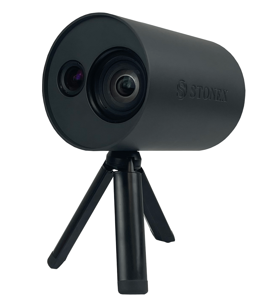
2 Cameras
Only 720g
3mm @ 1m

XVS vSLAM 3D Scanner
New generation photogrammetry

2 Cameras
Only 720g
3mm @ 1m
On this page:
The system uses a technology based on the integration of high-resolution images, inertial systems and a complex algorithm: capturing a scenario with XVS, 3D model will be generated through photogrammetric techniques.
Walking and capturing the scene in motion, a real-time interface will guide you in the data collection, suggesting the speed of your movement and if necessary returning to an area to have enough image overlapping.
Thanks to Visual SLAM system (Simultaneous localization and mapping), your trajectory is displayed in real-time on a tablet. The Inertial Measurement Unit (IMU) sensor helps the algorithm to generate a continuous image block. The best result will be obtained automatically. Back in the office, the procedure to generate the 3D model is fully automatic, through a desktop PC.
Data coming from XVS can be integrated with video from UAV drone or any camera for a complete reconstruction of the area.
BUNDLED SOFTWARE
XVSapp
The provided software has a simple interface and helps the user by indicating how to behave in critical steps and alarming in case the object is not captured correctly. Camera parameters are fully customizable, adapting them to the surrounding environment. Suggested tablet is Microsoft® Surface PRO, not included in the bundle.
XVScloud
Data collected in the field can be sent to a server for advanced data processing. This service will return point cloud or mesh formats, which you can use in Cube-3d or any third-party software.
ACCURATE
Smart algorithm makes it possible to choose the best images and increase the accuracy of the derived model. If the capture is very close to the element (around 1m) and closing where you started-loop closure-the accuracy is 2-3mm.
RAPIDITY AND REDUCED WORKLOAD
Just move around the scene to collect the entire 3D point cloud.
EASY TO USE
Because of its practicality and ease of use, it can be used by multiple people within a company or institution, without the need for prior knowledge of 3D scanners. The field application will guide in through the data collection.
VERSATILE
A variety of urban scenarios can be documented using XVS scanner, as infrastructures, accident reconstructions, gas/water connection works, building faces and others. The geometric accuracy and colour realism in the results, make it a companion also for archaeological, architectural and geological work.
HD TEXTURES
Based on advanced high-resolution images, it allows reconstructing the texture of the scanned material with great clarity and realism.
ADVANCED DATA PROCESSING
Collected data are sent to a server for advanced processing. This will return point cloud or mesh format, which can be managed in Cube-3d or other software.
Product Video
Applications
ACCESSORIES
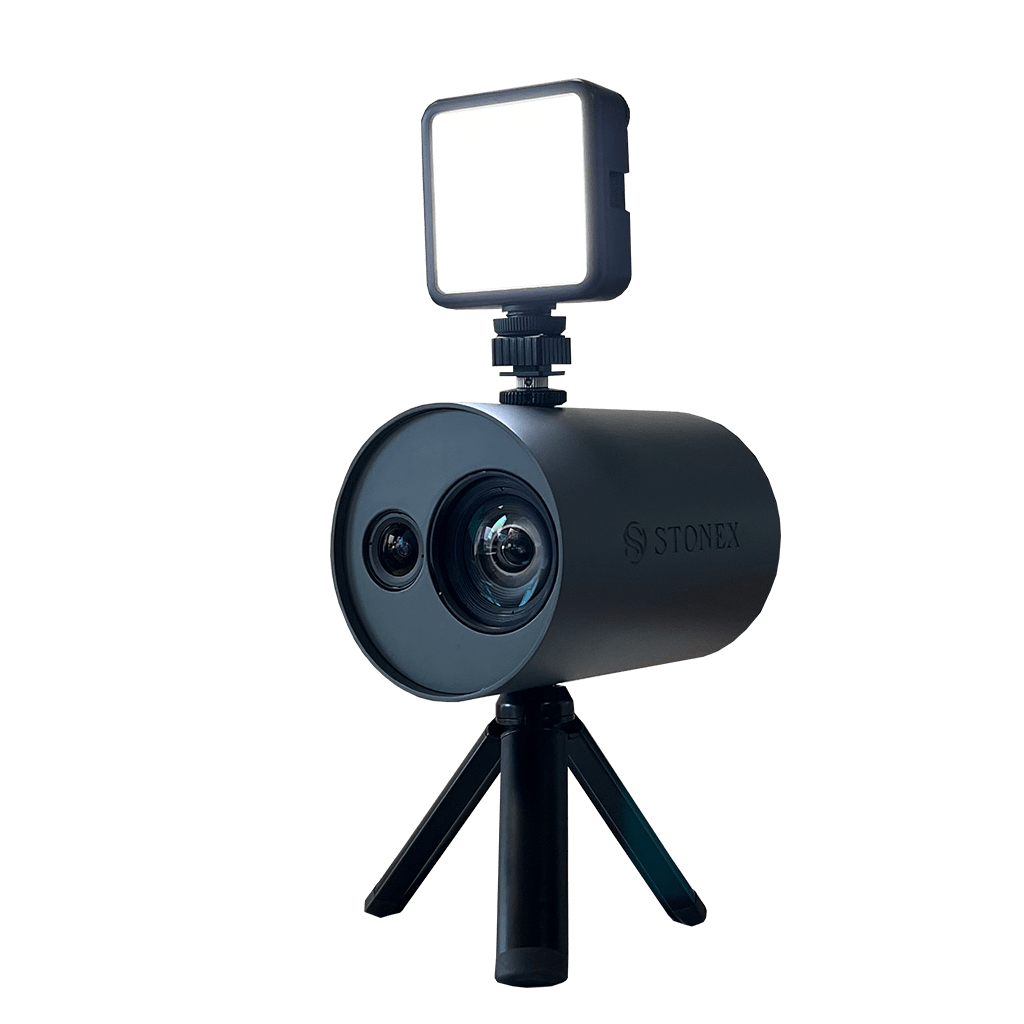
Provide artificial lighting in darker unevenly lit environments, increasing the quality and clarifying the frames saved by XVS
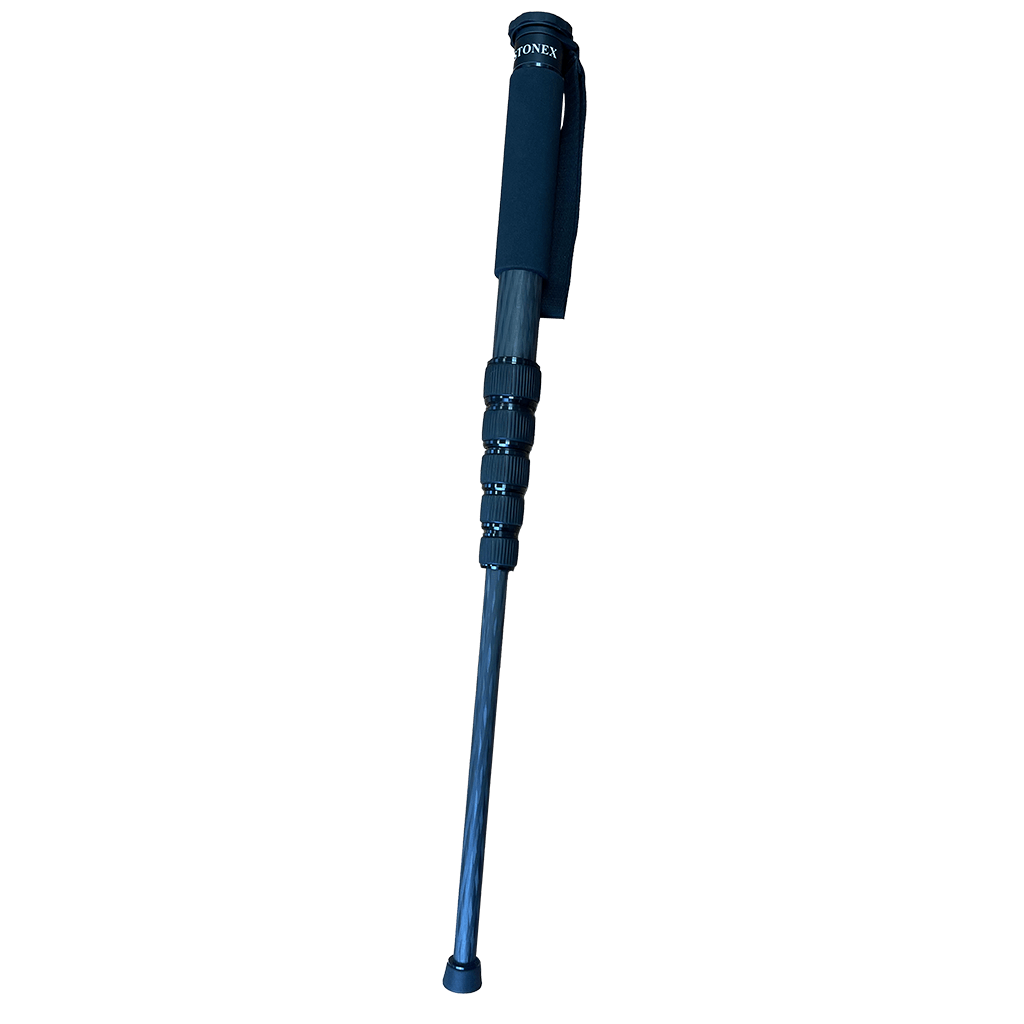
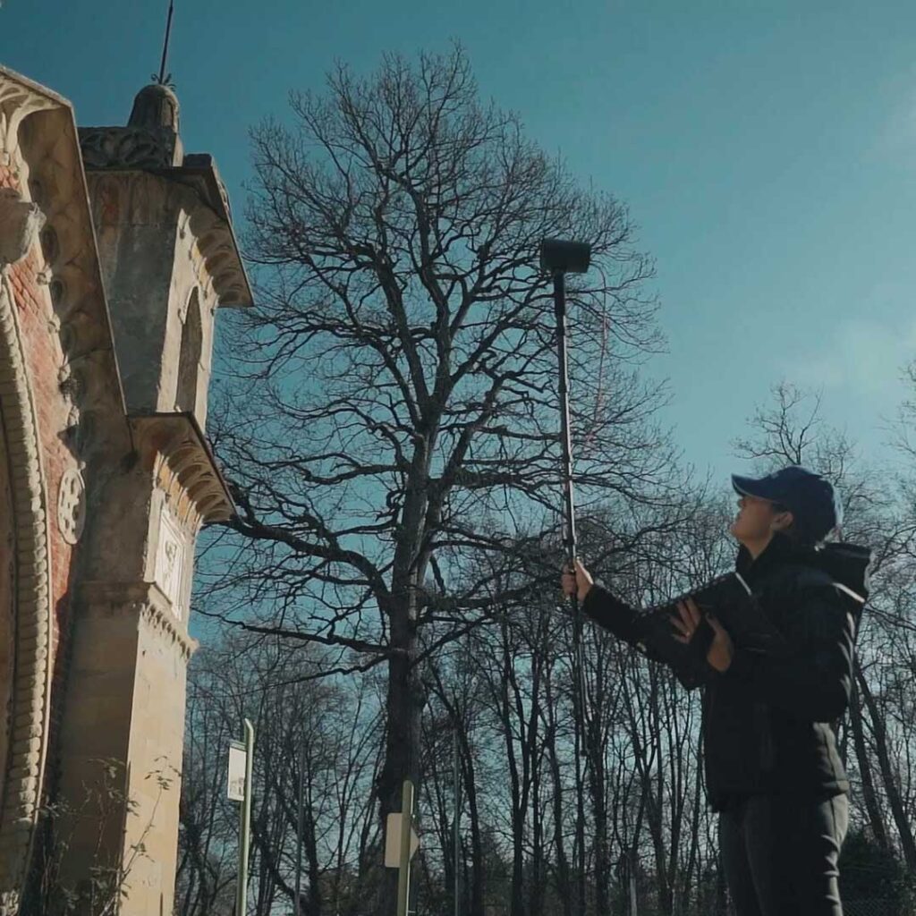
The telescopic pole allows the XVS to be mounted for scanning difficult-to-access areas of building facades.
FAQ
Yes, if different projects have common scanned area, they can be processed together, and you’ll obtain a complete and unified project.
XVScloud processing software, in addition to XVS data, can import and elaborate any video in mp4 format, so even those from UAV. XVS scanner data and videos from other cameras can be loaded in the same automatic process, provided they cover the same area.
Since the system processes data with photogrammetry technique, the environment must be well lit and have heterogeneous textures, as well as avoiding reflective surfaces or glass.
In environments with single homogeneous colour, like empty walls, the system has problems finding homologous points and will generate significant distortions.
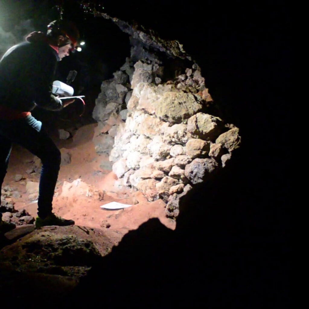
Darkness is not XVS’s best friend, but with the right arrangements and proper artificial lighting (for example our LED light), good results can be achieved. Check out this case study: LAVA TUNNEL.
Being a system based on photogrammetry, working close to the object gives more detailed restitution.
It is usually suggested to get as close as possible. To cover this requirement, Stonex provides a telescopic pole that can extend up to 2 meters.
You simply have to load the data and choose the format results you desire.
For each device, you have the possibility to ask for 2 activation codes. The service is annual and does not have any limitation of projects. The first year is included in the purchase of hardware.
The scanner requires a tablet with a Windows 10 operating system or higher, i5 processor, 8GB RAM, more than 128GB SSD storage and WIFI or 4G connection.
We recommend the Microsoft® Surface Pro 8 or higher. It is important that the tablet or computer has a direct USB-C connection.
Ease of use. The acquisition of the survey, thanks to the visual slam and the quality parameters shown on the tablet, is guaranteed: there is no possibility of missing frames.
In addition, the cloud service processes selecting frames based on many parameters and this is what makes the result of XVS unique and not reproducible with other photo/videogrammetry software.
In recent years, we have seen how Lidar technology has conquered the market in an extraordinary way
- Related products

