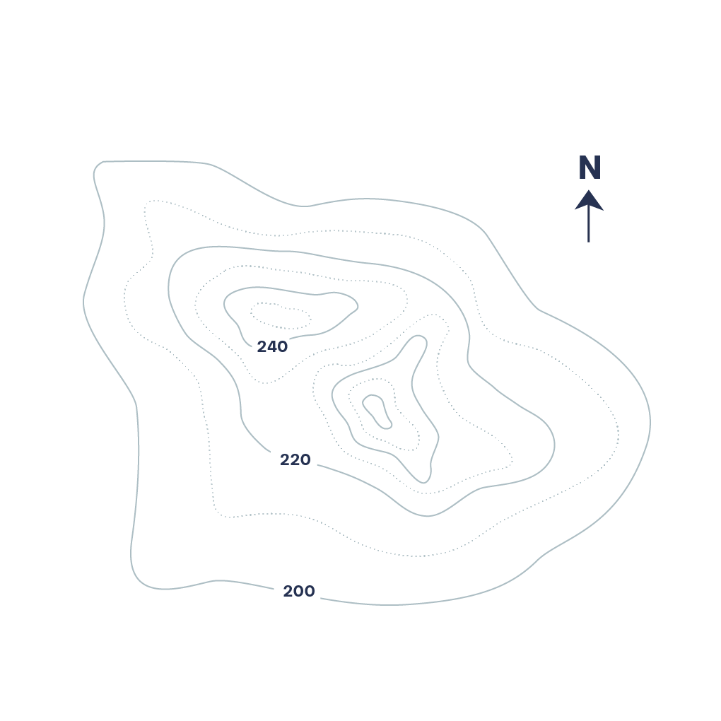
Topographic Map
Also called: Elevation Map

A topographic map is a detailed and accurate graphic representation of cultural and natural features on the ground. A topographic map is typically published as a map series, made up of two or more map sheets that combine to form the whole map. A contour line is a combination of two line segments that connect but do not intersect; these represent elevation on a topographic map.
Examples
-
http://conceptmodel.tumblr.com/post/37259659168/fabriciomora-italian-hill-town-of-assisi">
-
https://www.instagram.com/the.visual.agency/">
-
http://www.belowtheboat.com/products/lake-tahoe">
-
http://3.bp.blogspot.com/-OqdaROiaMo0/T6s0CttNZBI/AAAAAAAAAQc/TUUi-eJ83Ok/s1600/TopoMap.jpg">
-
https://www.flickr.com/photos/paopix/4894730970/sizes/l">
-
http://www.thecommononline.org/sensory-maps">
-
https://www.pinterest.com/pin/529524868666393065/">
-
https://www.instagram.com/the.visual.agency/">