Dol Gād
Appearance
Paghimo ni bot Lsjbot. |
| Dol Gād | |
| Suba | |
| Nasod | |
|---|---|
| Estado | State of Uttarakhand |
| Gitas-on | 1,873 m (6,145 ft) |
| Tiganos | 30°48′19″N 77°54′06″E / 30.80533°N 77.90162°E |
| Timezone | IST (UTC+5:30) |
| GeoNames | 10744996 |
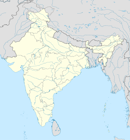
Suba ang Dol Gād sa Indiya.[1] Nahimutang ni sa estado sa State of Uttarakhand, sa amihanang bahin sa nasod, 250 km sa amihanan sa New Delhi ang ulohan sa nasod. Ang Dol Gād mao ang bahin sa tubig-saluran sa Ganges.
Ang mga gi basihan niini
[usba | usba ang wikitext]- ↑ Dol Gād sa Geonames.org (cc-by); post updated 2015-09-08; database download sa 2016-08-15
